How It Works: AI-Powered,
Location-Based Search
Cyberglobes gives you access to live, real-world intelligence through multiple search modes — whether you're asking a question, exploring a location, or uploading a photo. Each search connects to real-time data from the ground and brings back results that are visual, dynamic, and geo-aware.
It All Starts With Your Request
When you type a question or make a request to our agent, our system immediately starts to work. It doesn't rely on outdated data or pre-written responses, instead, it searches the entire web for the most relevant, real-time information that matches what you're asking. Whether it's finding a nearby event, checking if a business is open, or discovering trending spots, we pull fresh data that matters right now.
Real-Time Data Collection
Once we know what you’re looking for, our engine scans thousands of sources, social media, news, location feeds, public databases, updated datasets, and much more, to gather accurate, up-to-now information. Based on the type of query, we focus on the data that makes the biggest difference. For example, if you’re asking about an event, we look at who’s talking about it, where it's happening, and whether it's still active.
Training Our AI-Model to Understand your Location
After processing, the refined data is passed into our advanced AI models including our large language model (referred as LLM) and our visual map AI. These systems work together to understand both text and geography, allowing us to give you not just a written answer, but a smart visual just like a map, list, or live view.
Smart Data Processing
We don’t just collect data - we refine it. Cyberglobes uses advanced AI techniques like fake content detection, photo-to-text recognition, and behavior analysis to ensure the data is trustworthy and useful. This step helps remove spam, fake news, or misleading info, so what you see is not only accurate but, 100% relevant.
Staying Updated in Real-Time
What makes Cyberglobes different is that it doesn't stop after the first answer. You can even use this system to create your own AI assistant trained to answer any question about any place in the world, using real-time data.
Our platform allows you to connect your AI or chatbot via webhooks, which means it can send real-time updates or alerts when something changes. If there's traffic near a venue, a price drop, or threatening event your own AI can notify you the moment it happens.
Discover the World Differently
Cyberglobes uses real-time intelligence to answer location-based questions, giving you interactive answers powered by live data and visual analysis.
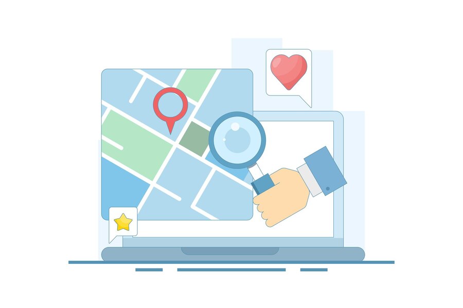
Agent Search – Ask Anything
Start by asking a question in plain language — no filters, no categories, no formatting
needed.
Examples:
- “Where’s the best vegan ramen near me right now?”
- “What’s happening in Lisbon this weekend?”
- “Quiet running routes in Berlin with lake views?”
The Cyberglobes agent interprets your intent, activates real-time data sources, and pulls signals from live movement, behavior, reviews, posts, and public activity. Instead of showing static results, it delivers interactive, location-aware answers that reflect what’s happening right now.
You can chat with the agent to refine or redirect your search, then:
- Explore results on a live, interactive map
- Save your searches for later
- Export results as a report for sharing or planning

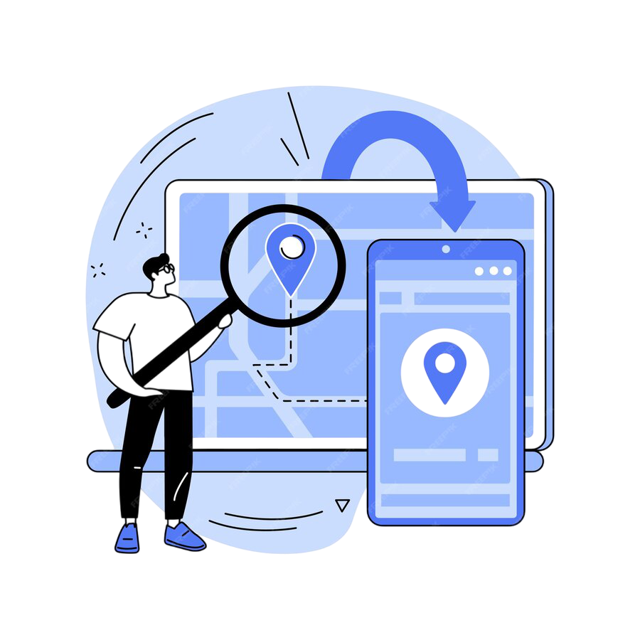
Search by Address or Coordinates
Want insights about a specific location — even if you’re not there?
Just enter an address, city, or exact coordinates. Cyberglobes instantly analyzes what’s
currently happening there by collecting:
- Local activity data
- Foot traffic heatmaps
- Nearby businesses, events, and sentiment
- Safety and infrastructure patterns
You can explore the results through the map interface, add notes or filters, and then:
- Save the area as a watchlist or recurring scan
- Export a location report with maps, charts, and trends
Ideal for planners, researchers, businesses, and remote decision-makers.
Search by Image
Upload an image — a photo of a market street, a beach, a building, or a meal. Cyberglobes uses visual intelligence to:
- Identify objects, text, landmarks, or places
- Match visual features to geo-tagged data
- Pinpoint a location or offer similar real-time spots nearby
Once matched, the system overlays live data from that area, so you can:
- Explore live results on map with overlays for activity, crowd density, and trending points of interest
- MSave searches to revisit or track areas over time
- Export detailed reports with visuals, insights, and location trends
Great for content creators, tourists, investigators, or visual-first explorers.
Additional Capabilities for All Searches
- Explore live results on map with overlays for activity, crowd density, and trending points of interest
- Save searches to revisit or track areas over time
- Export detailed reports with visuals, insights, and location trends
Behind every search, Cyberglobes brings together AI understanding, spatial data, and real-time signals to give you what traditional tools can’t: A live pulse of the world — visual, dynamic, and built for action.
Join Us
We’re building the future of geo-intelligence — and we’re just getting started. Explore what Cyberglobes can do. Or get in touch to work, partner, or build with us.